Sub-2cm volumetric surveys, stockpile monitoring, and AI-powered compliance reporting for open-cast and underground mining operations across India.
Aerovania's drone intelligence platform replaces manual surveys with automated, high-accuracy aerial data cutting survey time from days to hours and delivering actionable insights directly to your operations team.
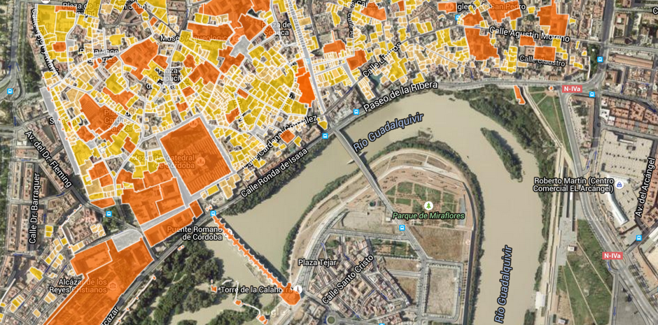
IBM-compliant drone surveys, pit progression mapping, stockpile calculations, and AI-powered compliance monitoring — trusted by Coal India WCL & CCL.
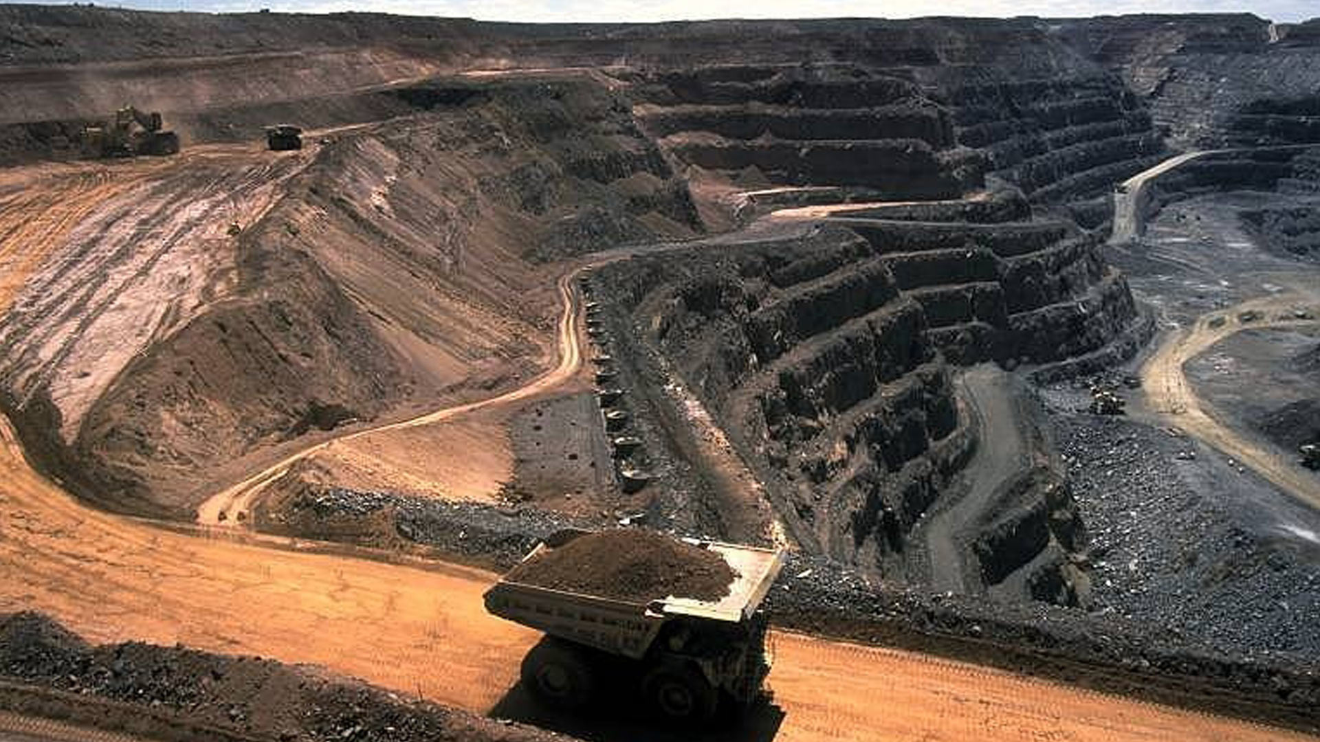
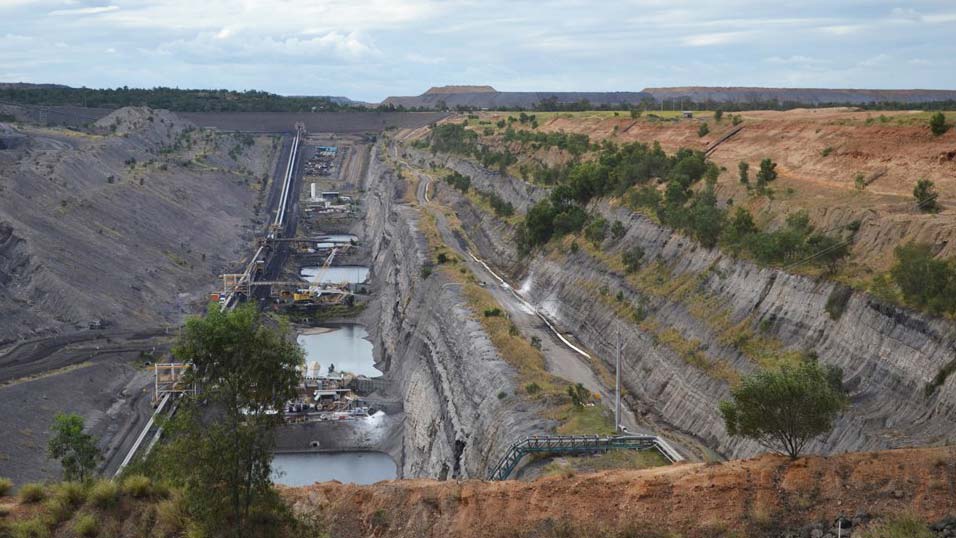
Aerovania conducts IBM (Indian Bureau of Mines) compliant drone surveys across open-cast and underground mine sites — replacing slow ground-based survey teams with faster, safer, and more accurate aerial data collection that meets statutory reporting requirements.
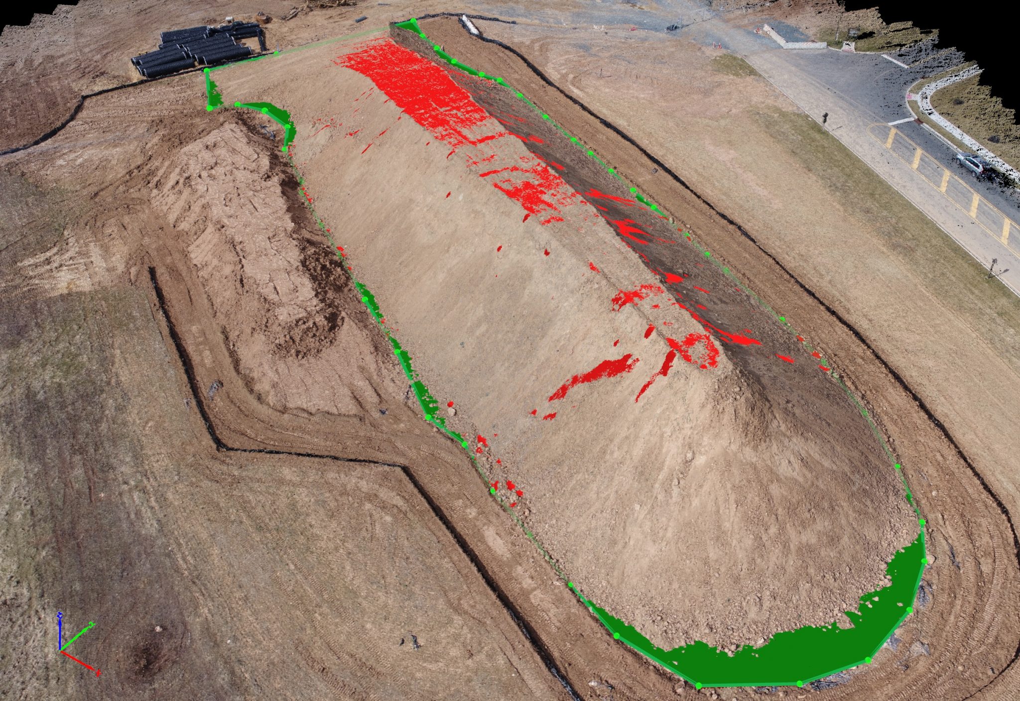
Accurate 3D volumetric models of coal and ore stockpiles, waste dumps, and overburden generated from drone data in hours. Replace manual tape-and-GPS surveys with sub-centimetre photogrammetry — trusted by Coal India subsidiaries WCL and CCL.
Regular drone surveys track open-pit excavation progress against mine plans — providing mine managers with accurate, up-to-date pit geometry, bench levels, and overburden removal data for production planning and statutory reporting.
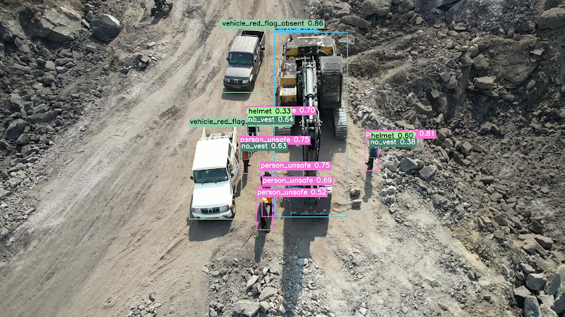
Aerovania's AI Mines Analytics platform detects 23+ mine safety violations in real time — PPE non-compliance, exclusion zone breaches, unauthorised access, and hazardous conditions — delivering live KPIs and ATR reports to safety officers.
All survey outputs are delivered in GIS-ready formats compatible with IBM reporting, mine planning software, and government portals — including DXF, GeoTIFF, Shapefile, and LAS point cloud formats.
Purpose-built for the demands of open-cast mining not adapted from general-purpose drone tools.
2cm volumetric accuracy across stockpiles and pit surveys meeting the precision demands of mine planning and reconciliation.
Replace multi-day manual surveys with automated drone flights completed in hours with no disruption to mining operations.
Eliminate the need to send surveyors into hazardous areas drones access slopes, waste dumps, and active blast zones safely.
Historical survey data enables trend analysis for slope movement, stockpile depletion, and operational efficiency over time.
Automated audit trails and compliance reports meet DGMS and environmental regulatory requirements with minimal manual effort.
Survey outputs integrate directly with mine planning software, ERP systems, and GIS platforms no manual data re-entry.
Talk to our mining intelligence team about drone-based volumetrics and compliance reporting.