Featured
AI & Technology
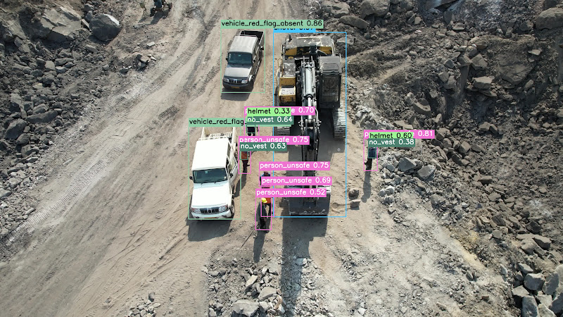
How Edge AI is Transforming Real-Time Aerial Surveillance
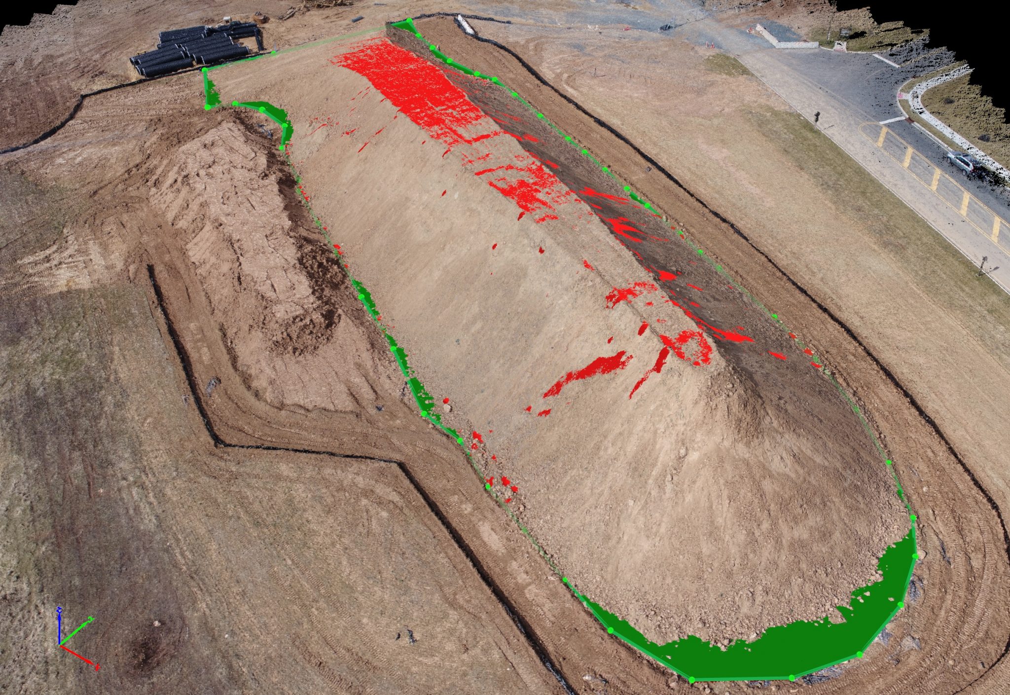
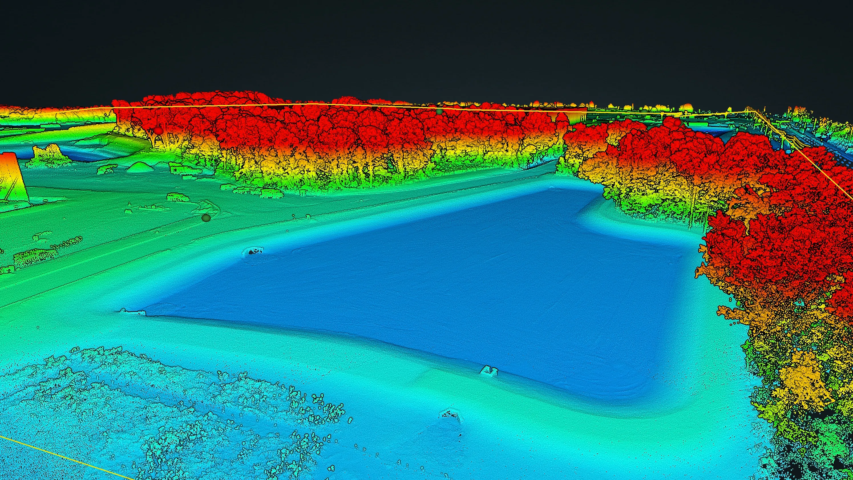
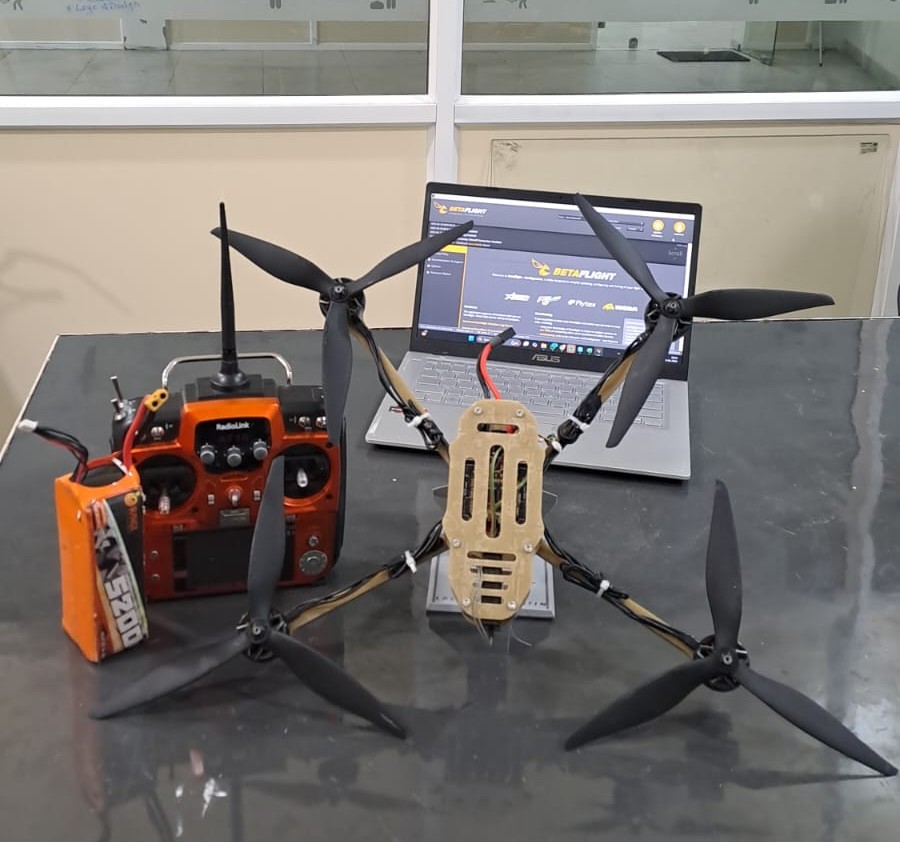
Running AI inference onboard the drone not in the cloud is changing what's possible for time-critical operations. We break down the architecture, the trade-offs, and the results.