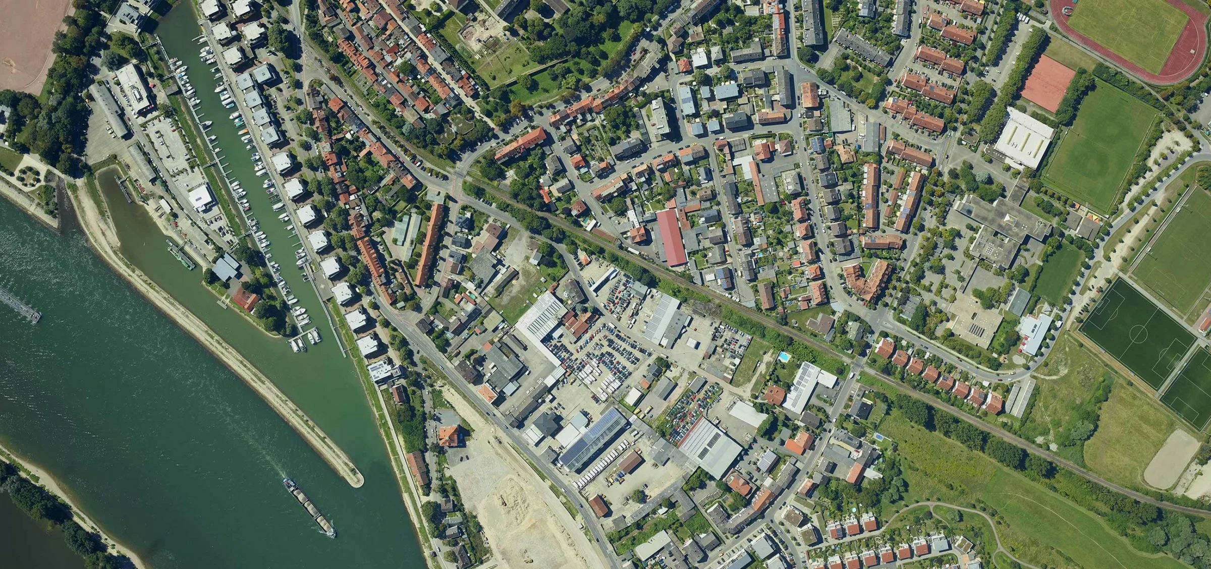
Aerial Mapping and Surveillance
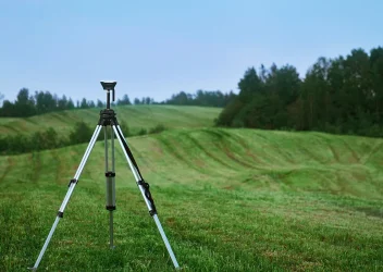
Land Surveying & Planning
Land surveying and planning are crucial for the accurate measurement and development of land for various purposes. Using advanced tools like GPS, drones, and laser scanners, surveyors collect detailed data about the terrain, boundaries, and features of a property. This data is essential for creating accurate maps and plans that guide land use, construction, and development.
Know More
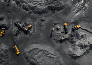
Mining
In mining, surveying plays a vital role in mapping deposits and planning extraction with minimal environmental impact. Using advanced technologies like drones and laser scanners, it ensures safe and efficient mining operations, while detailed data aids in optimizing productivity and sustainability.
Know More
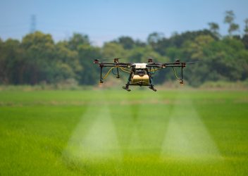
Agriculture Technology
Agriculture technology enhances farming by integrating drones, sensors, and automated systems to monitor crop health, manage irrigation, and boost yield. Precision farming reduces waste, optimizes resources, and provides data-driven insights, empowering farmers to make better decisions for sustainable agriculture.
Know More
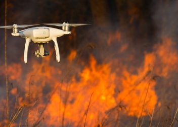
Disaster Management
Drones are invaluable in disaster management, providing real-time aerial imagery, mapping, and damage assessment. They help locate victims, deliver supplies, and inspect hazardous areas, enabling faster, safer, and more efficient emergency response during floods, earthquakes, and other natural disasters.
Know More
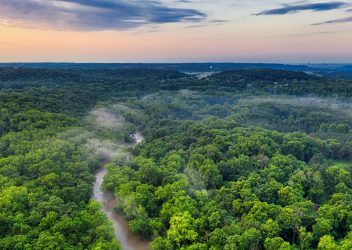
Forest Wildlife
Drones and remote sensing technologies are revolutionizing forest and wildlife monitoring. They track animal populations, assess forest health, detect illegal activities like poaching, and monitor environmental changes, ensuring the conservation of biodiversity and promoting sustainable forest management.
Know More
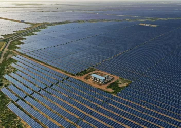
Solar Plant Inspection
Drones equipped with thermal cameras and sensors streamline solar plant inspection, identifying panel malfunctions and inefficiencies with precision. They allow for faster, cost-effective monitoring of large solar farms, ensuring peak performance, reducing downtime, and optimizing energy output.
Know More
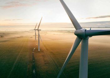
Wind Turbine Inspection
Drones provide efficient, high-resolution inspection of wind turbines, identifying wear, damage, and potential issues in hard-to-reach areas. This non-invasive method reduces downtime, improves safety, and ensures turbines operate at maximum efficiency, boosting renewable energy production.
Know More
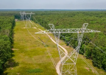
Power Transmission Line Inspection
Drones are revolutionizing power transmission inspections, providing detailed, aerial assessments of power lines, towers, and substations. By quickly identifying damage or faults, drones improve maintenance efficiency, reduce downtime, and enhance the reliability and safety of electrical grids.
Know More

Railways
We provide advanced railway inspection solutions, including gradient verification, mapping services, and typical GHAT section surveys using aerial drone technologies. Our drones deliver quick, detailed assessments of tracks, bridges, and tunnels, identifying wear and hazards. This cutting-edge technology enhances safety, reduces manual labor, and ensures efficient railway operations, helping prevent disasters in vulnerable sections like GHAT regions.
Know More
